8
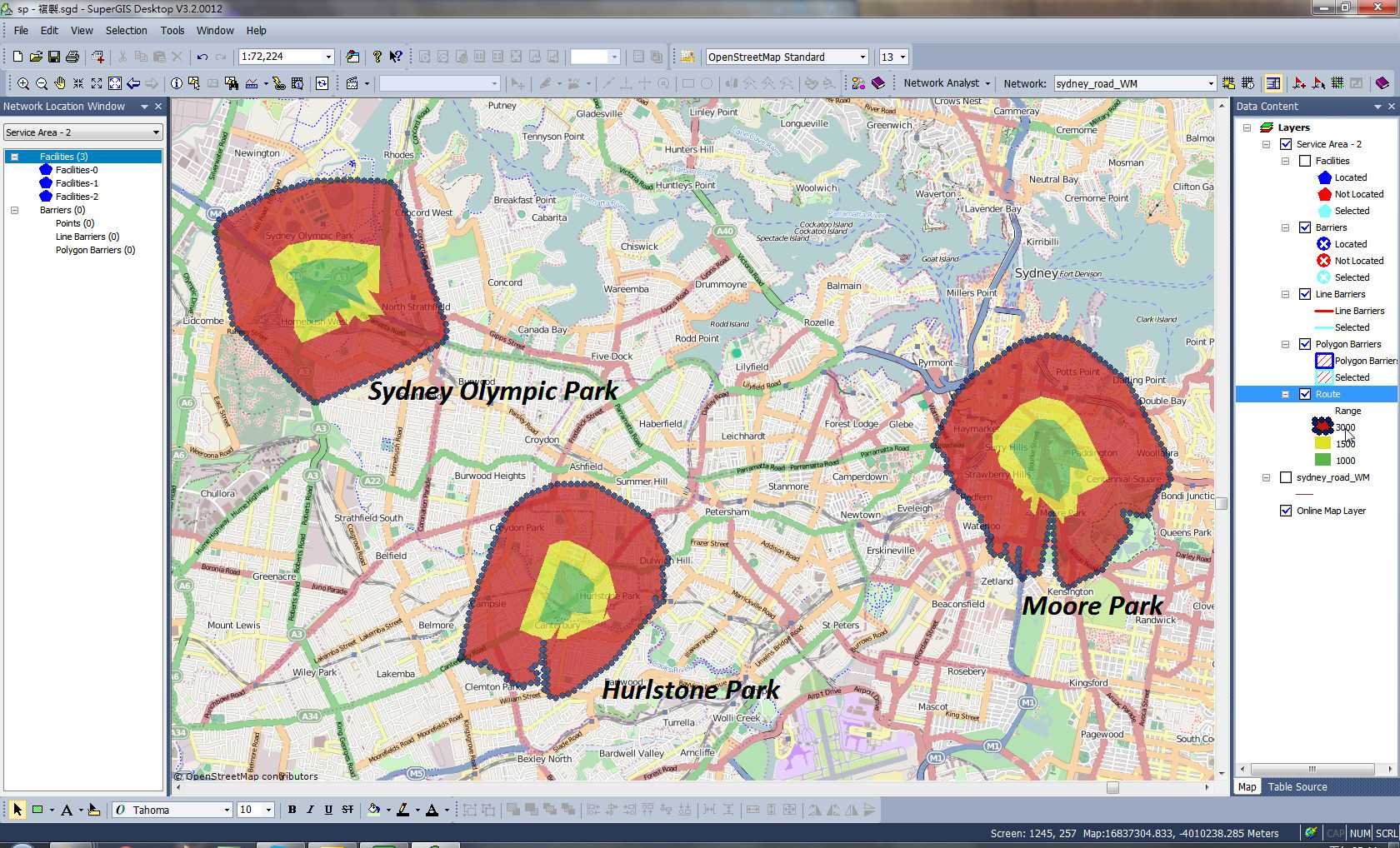
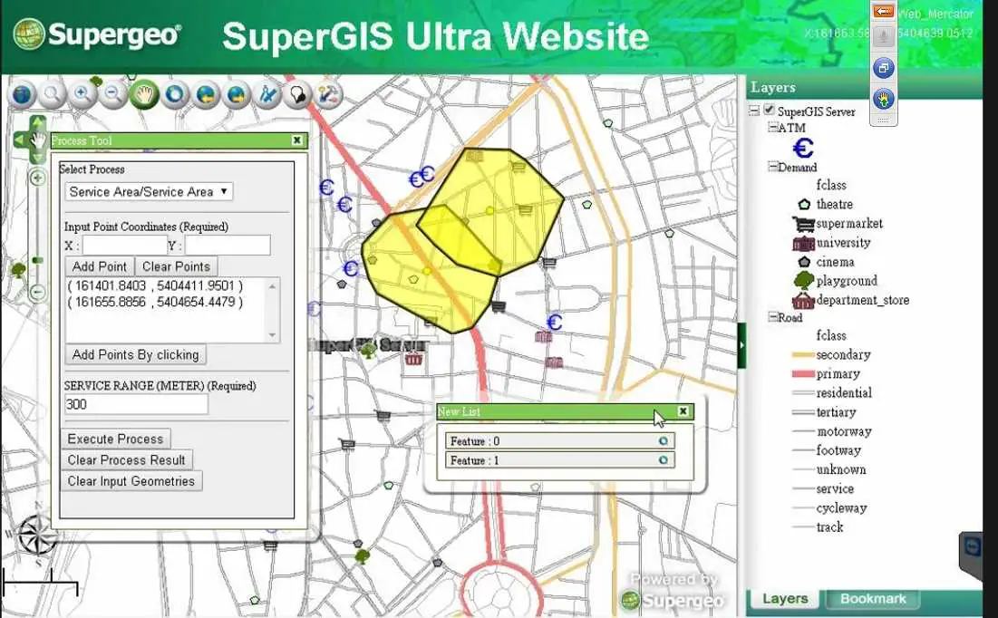
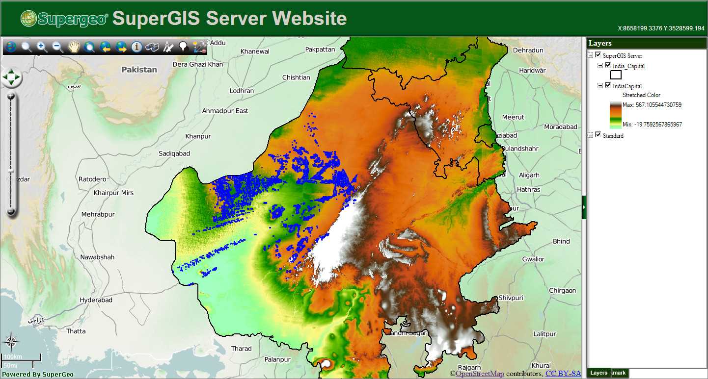
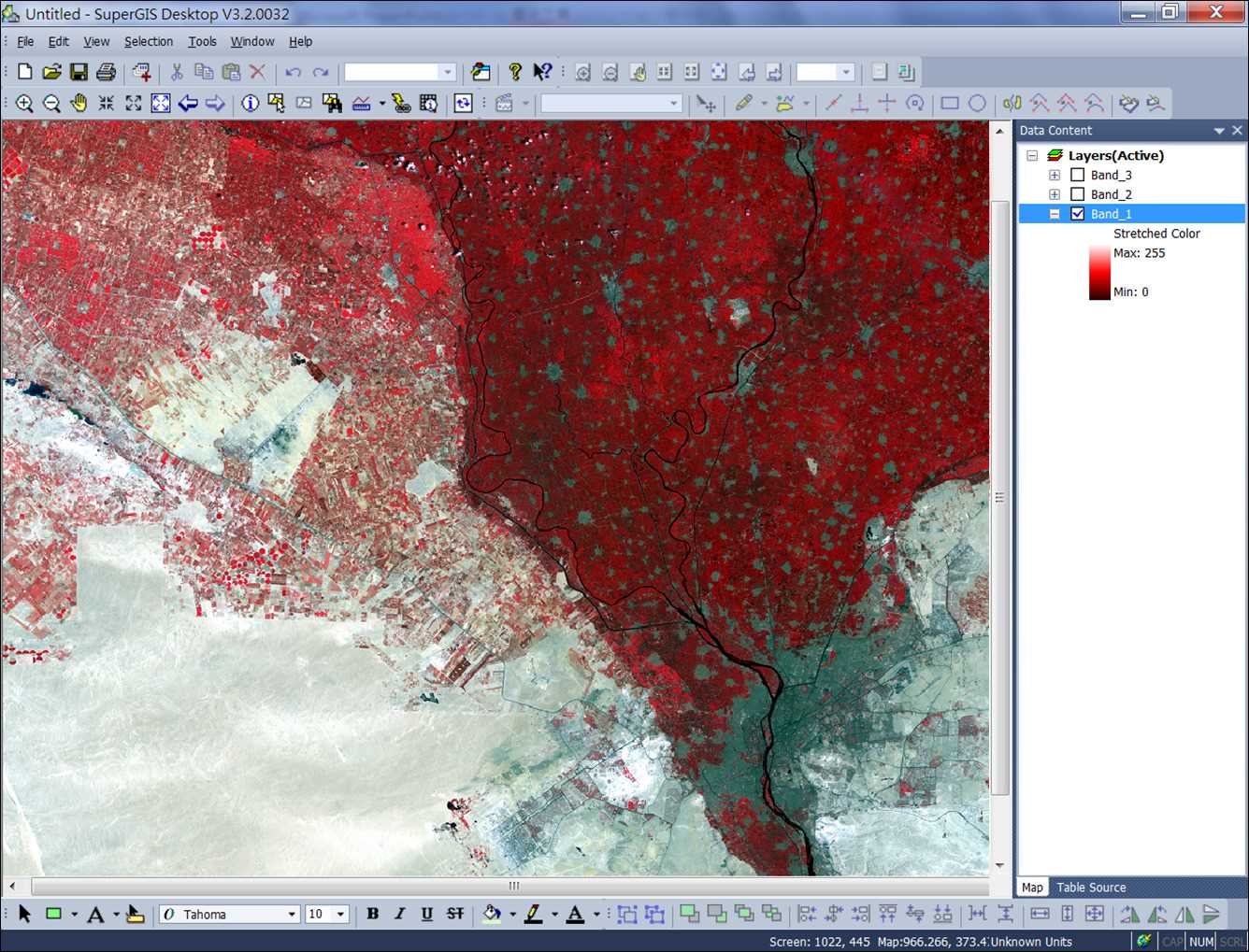
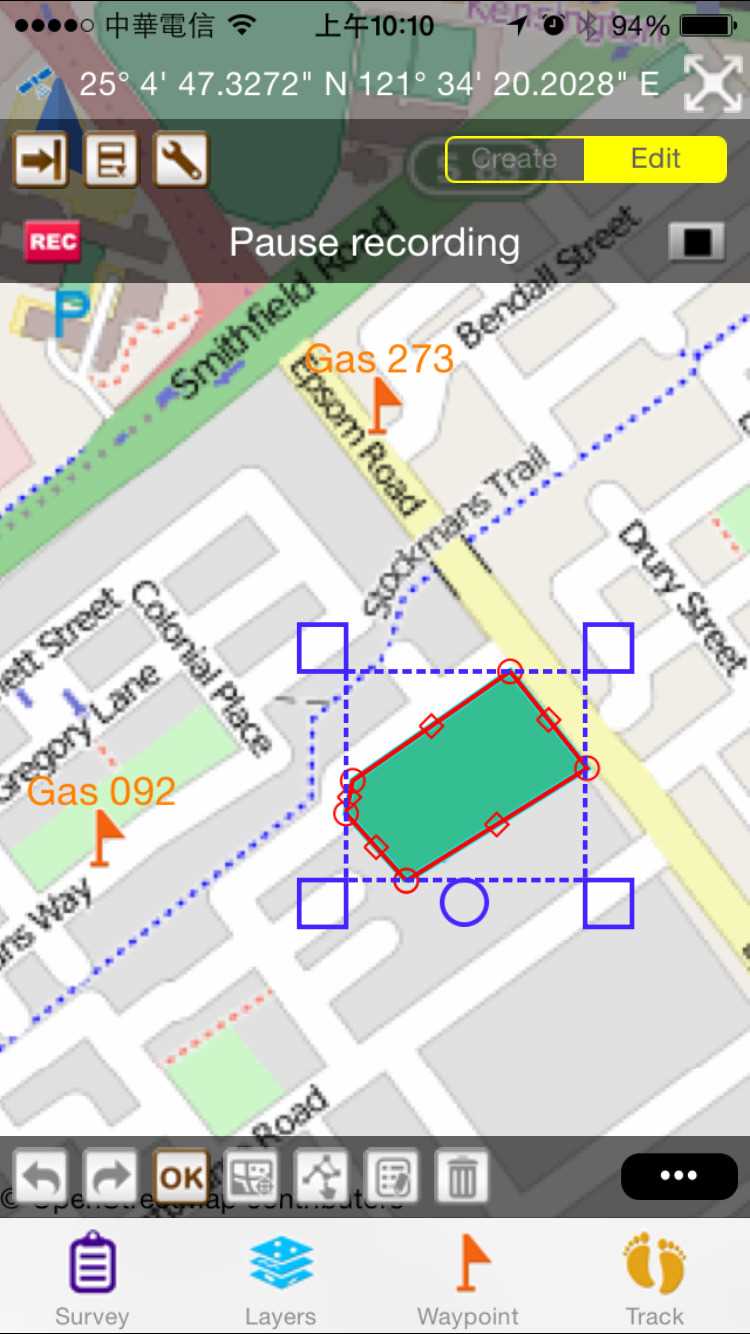
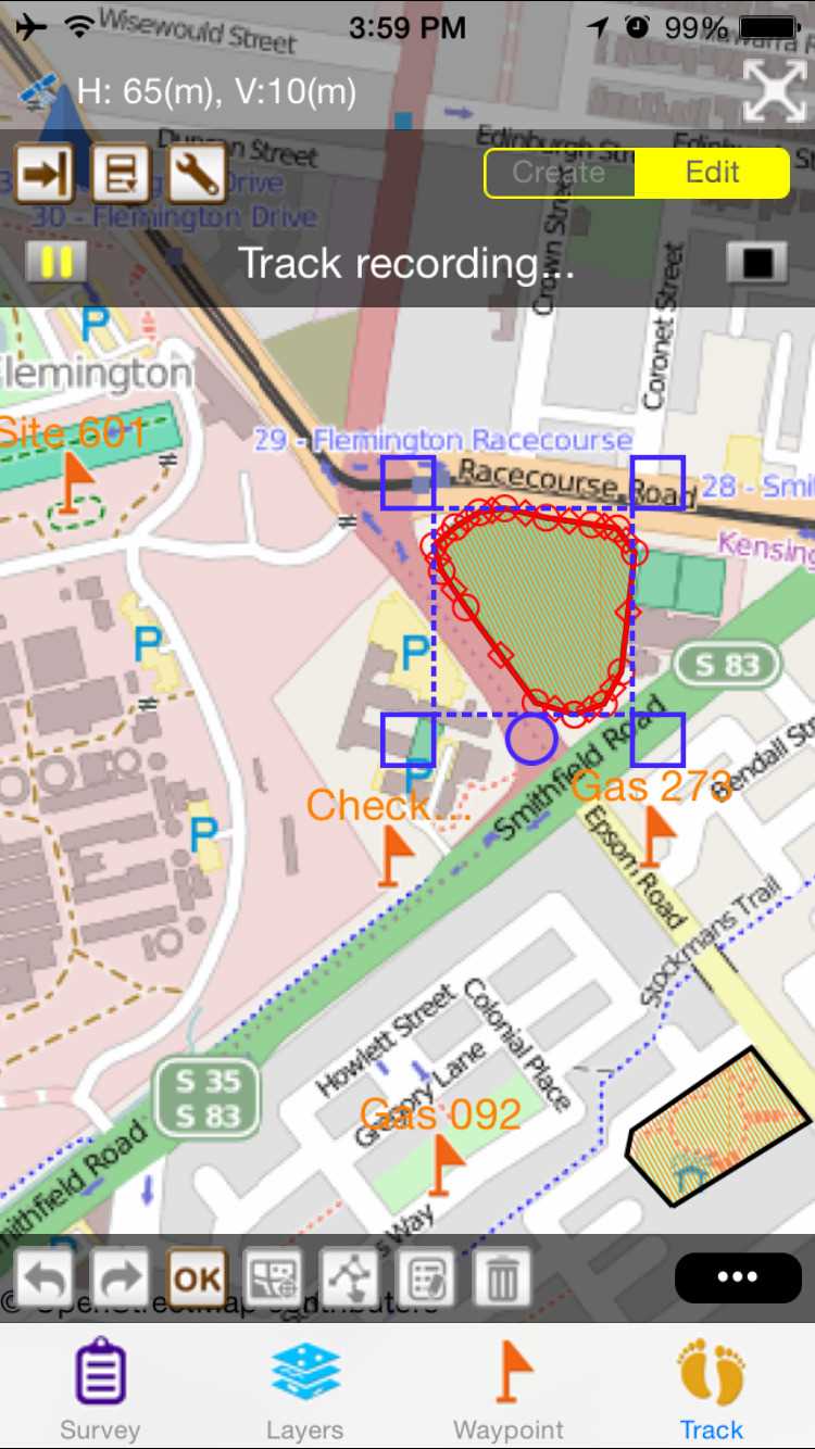
SuperGIS
Supergeo Technologies Inc.是全球领先的GIS软件和整体解决方案提供商。
Supergeo Technologies Inc.是全球领先的GIS软件和整体解决方案提供商。SuperGIS拥有从台式机,移动设备,服务器到开发人员SDK的GIS系列产品,SuperGIS已在100多个不同国家/地区使用。
特征
分类目录
Windows版SuperGIS的替代品
23
22
12
ArcGIS
ArcGIS是地理信息系统(GIS)软件,用于可视化,管理,创建和分析地理数据。
5
4
MapInfo Professional
MapInfo Professional是Pitney Bowes MapInfo提供的功能强大,功能丰富的桌面制图应用程序,旨在使组织能够解决存在以下问题的业务问题:
- 付费应用
- Windows
3
Spatial Feature Server
MapET的Spatial Feature Server是ESRI Geoservices REST实现,可与所有ESRI Rest API一起使用。发布数据的来源是主要RDBMS的空间扩展,例如Oracle,Microsoft SQLServer,MySQL,PostgreSQL。
- 付费应用
- Windows
1
Microsoft MapPoint
MapPoint使您能够更强大地可视化地图上的业务数据,交流具有即时影响的见解,并将地图集成到您在Microsoft Office中所做的工作中。
- 付费应用
- Windows
1
Spotzi Mapbuilder
Spotzi是一个易于使用的在线GIS /数据映射平台,适用于您可以免费试用的企业/专业人士。学习曲线很短,人们可以立即从数据创建地图开始。Spotzi还拥有一个带有现成地图和数据的数据商店。