0
MapWindow GIS
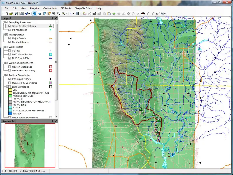
MapWindow是一个完全免费的开源地理信息系统项目。它包括一个开源编程组件MapWinGIS ActiveX,以及一个可扩展的桌面应用程序,该应用程序支持以.NET(C#和VB.NET)编写的插件。最新的成果MapWindow 6包括一个完整的C#编程库,旨在替代ESRIs ArcObjects平台。
分类目录
具有任何许可的所有平台的MapWindow GIS替代品
23
22
12
ArcGIS
ArcGIS是地理信息系统(GIS)软件,用于可视化,管理,创建和分析地理数据。
8
5
3
Spatial Feature Server
MapET的Spatial Feature Server是ESRI Geoservices REST实现,可与所有ESRI Rest API一起使用。发布数据的来源是主要RDBMS的空间扩展,例如Oracle,Microsoft SQLServer,MySQL,PostgreSQL。
- 付费应用
- Windows
1
0
GeoSheets
GeoSheets是Google Spreadsheets的免费附加组件,可轻松执行轻量级GIS任务,例如地理编码,地址归一化,距离计算以及创建自定义和可嵌入的地图。
- 免费增值应用
- Web
- Google Drive
0