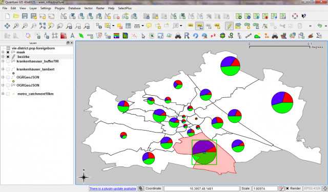
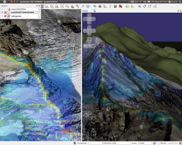
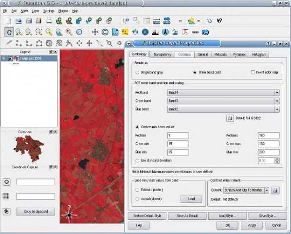
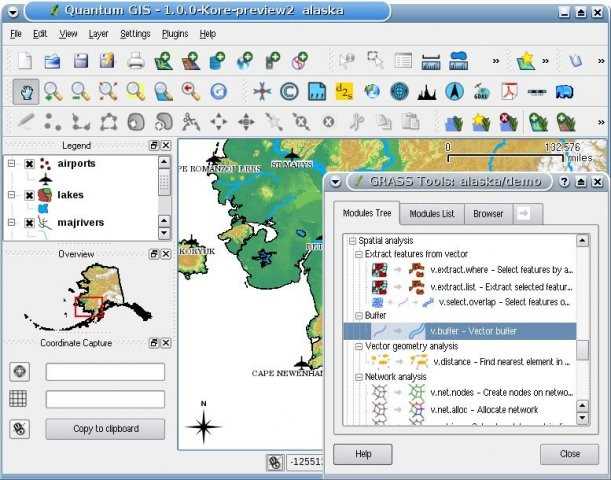
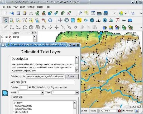
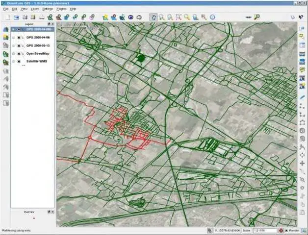
QGIS(以前称为Quantum GIS)是一种受用户欢迎的开源地理信息系统(GIS),已获得GNU通用公共许可证的许可,可在Linux,Unix,Mac OSX和Windows上运行,并支持多种矢量,栅格和数据库格式及功能。使用QGIS,您可以浏览,编辑和创建各种矢量和栅格格式,包括ESRI shapefile,PostgreSQL / PostGIS中的空间数据,GRASS矢量和栅格或GeoTiff。您可以使用Python或C ++创建自定义的插件和启用GIS的应用程序。可以使用打印编辑器编译地图以进行打印。QGIS支持插件执行诸如从GPS导入定界文本数据,下载轨道,路线和航点的操作,或可视化OGC WMS和WFS图层。
分类目录


具有任何许可的所有平台的QGIS替代品
23
22
12
ArcGIS
ArcGIS是地理信息系统(GIS)软件,用于可视化,管理,创建和分析地理数据。
8
7
5
4
4
MapInfo Professional
MapInfo Professional是Pitney Bowes MapInfo提供的功能强大,功能丰富的桌面制图应用程序,旨在使组织能够解决存在以下问题的业务问题:
- 付费应用
- Windows
3
Spatial Feature Server
MapET的Spatial Feature Server是ESRI Geoservices REST实现,可与所有ESRI Rest API一起使用。发布数据的来源是主要RDBMS的空间扩展,例如Oracle,Microsoft SQLServer,MySQL,PostgreSQL。
- 付费应用
- Windows
2
ESRI Geoportal Server
Esri Geoportal Server是一种免费的开源产品,可发现和使用地理空间资源,包括数据集,栅格和Web服务。