5
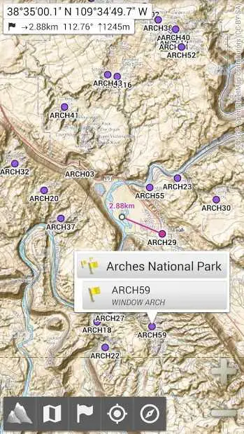
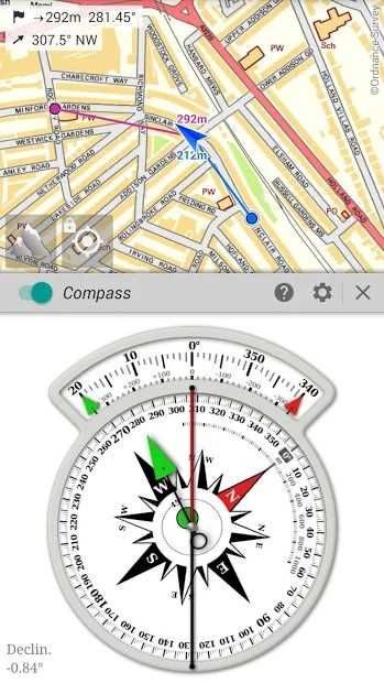
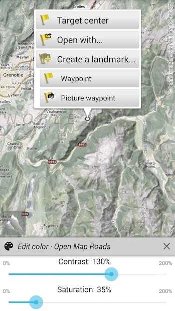
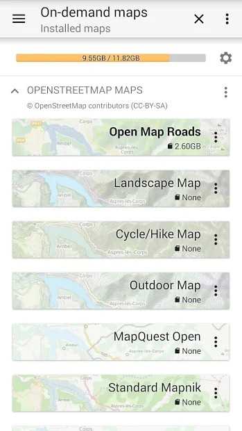
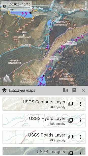
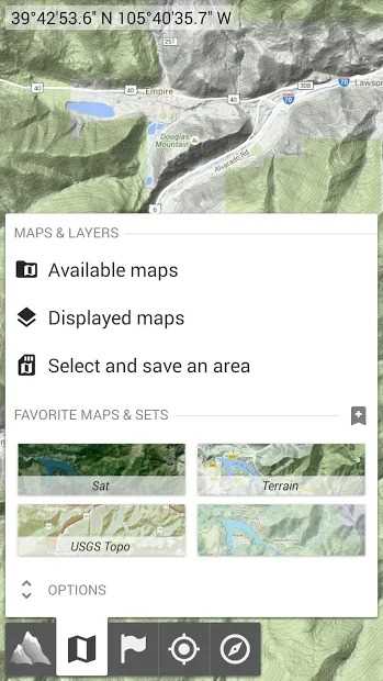
AlpineQuest提供免费(精简版)和付费版本(两个独立的应用程序)。AlpineQuest是所有户外活动和体育活动的完整解决方案,包括远足,跑步,尾随,狩猎,帆船,寻宝,越野导航等。您可以在本地访问和存储大范围的联机地形图,即使不在小区覆盖范围内,这些地形图也仍然可用。AlpineQuest还支持基于板载文件的地图,例如MemoryMap©地图。通过使用GPS和设备的磁传感器(带有指南针显示),迷路已经成为过去的一部分:您可以实时在地图上进行本地定位,也可以根据您的观看位置进行定向。保存和检索地标,与您的朋友分享。跟踪您的路径,获取高级统计信息和交互式图形。您将不再有关于可以完成的问题的问题。通过保持完全的操作状态(例如经常在山区或国外),AlpineQuest可以满足您进行野外探险的所有需求。
特征

具有任何许可的所有平台的AlpineQuest替代品
7
4
Komoot
查找最佳的远足径和路线,查看地图,并与他们同在。探索十大最佳远足路线。
- 免费增值应用
- Android
- iPhone
- Apple Watch
- iPad
- Android Tablet
- Web
3
2
1
1
0
0