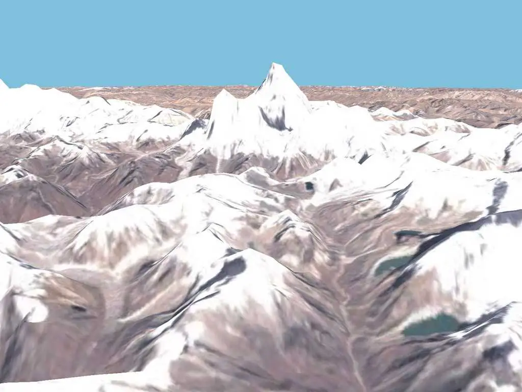
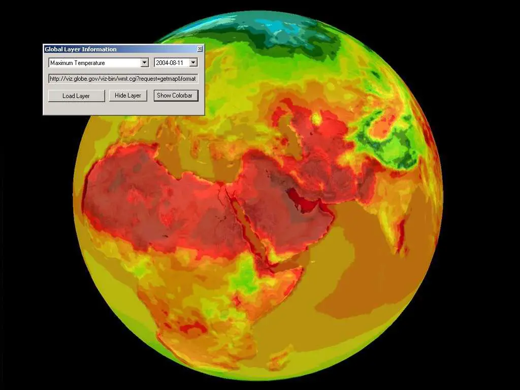
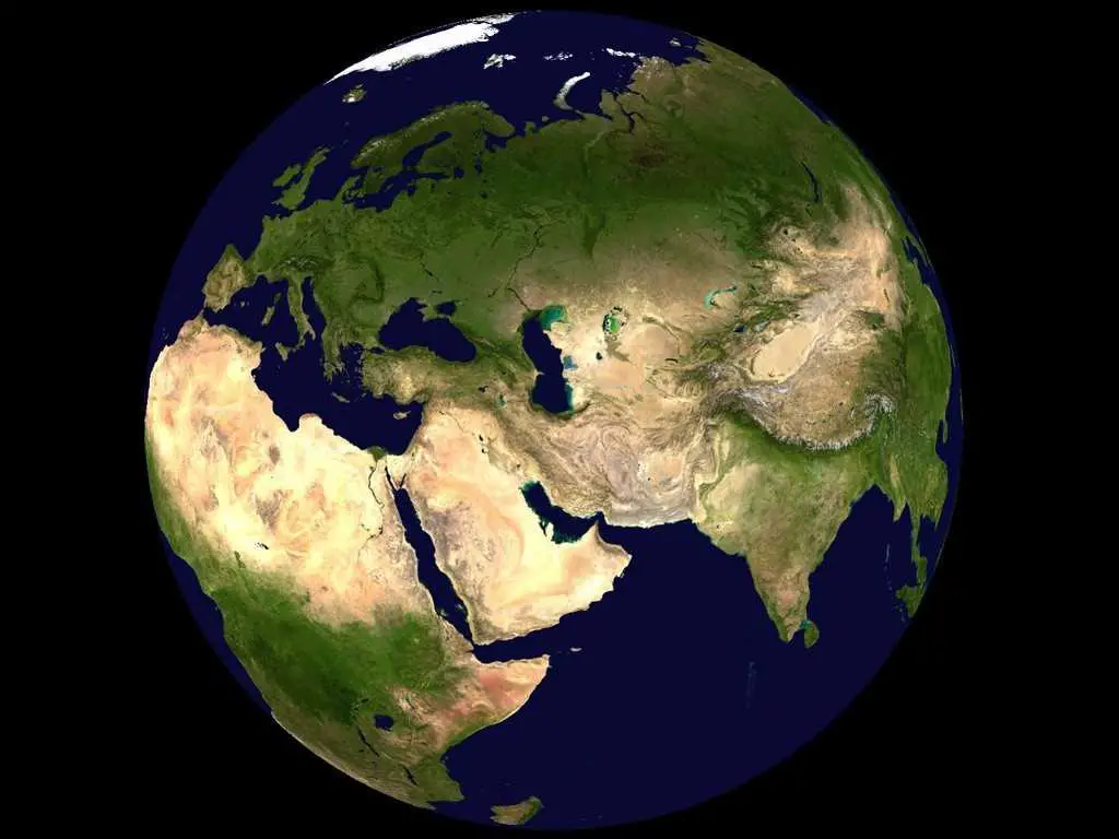
World Wind使您可以从卫星高度放大到地球上的任何地方。借助Landsat卫星图像和航天飞机雷达地形图任务数据,World Wind可以让您以视觉效果丰富的3D体验地球地形,就像您真的身在其中一样。几乎可以访问世界上的任何地方。纵观安第斯山脉,大峡谷,阿尔卑斯山或非洲撒哈拉沙漠。
分类目录
Chrome版NASA World Wind的替代品
0